


Today we’d like to introduce you to Scott Thomas. He and his team share their story with us below:
Scott Thomas founded Sky360° Aerial Media in 2018 in Atlanta, Georgia after spending two decades in professional media production. Although originally an Atlanta native, Scott spent years working in different media markets across the country and has also traveled the globe extensively, creating and producing exceptional content for brand marketing, business development and entertainment sectors.
Scott returned to his hometown of Atlanta in 2017 to work in the rapidly expanding entertainment industry and quickly realized how drones and unmanned aircraft could deliver creative media options as well as incredibly detailed data that in most cases simply could not be captured any other way.
In 2021, Sky360° Aerial Media has become one of the nation’s leading pioneers in aerial UAV and drone-based imagery and data collection. Sky360° provides a true start to finish solution including flight planning, aerial imagery, data capture with advanced processing and analytics enabling partners to capture maximum value and critical insights. Sky360° offers a full suite of aerial photography, videography and imaging as well as full-service video production, editing, data post-processing and support services. In addition to filming from above, Sky360° also supports our aerial operations with expert ground-based photography and videography as well.
Would you say it’s been a smooth road, and if not what are some of the biggest challenges you’ve faced along the way?
The road has been much smoother than we could have ever anticipated. Of course in any new venture, there are certainly obstacles and unexpected challenges along the way, but we have been incredibly surprised at how healthy the market has been and how quickly we were able to find success and stability.
One of the biggest challenges is that the technology as well as related applications is growing and expanding at a rate not witnessed in many industries today. Much of this is due to the fact that the industry is really very young, at only about 15-20 years old. We as a company spend a great deal of time researching new technologies, consulting with our clients and partners, and developing comprehensive tools to achieve critical data insights as well as delivering best-in-class media.
Another area that requires a great deal of attention is understanding and adapting to the constantly changing landscape that is the FAA’s rules and guidelines with respect to the National airspace. Many people are unaware that professional drone pilots are FAA licensed and certified pilots that must have knowledge and understanding of the airspace in the same way that commercial pilots must. These rules and regulations change often, and so it takes a great deal of focus on this area to ensure that your team is always flying safely and in compliance with Federal laws and regulations.
These are simply a few of the challenges we experience on a regular basis, however which a rapidly increasing awareness and demand for the type of media and data that drones and UAV’s can deliver, we are finding that the successes have been far outweighing the challenges.
Thanks – so what else should our readers know about Sky360 Aerial Media?
Sky360° Aerial Media is a leader in professional drone services, delivering professional aerial imagery and detailed data collection. We provide a true start to finish solution including flight planning, aerial imagery, data capture with advanced processing and analytics enabling our clients to capture maximum value and critical insights.
Whether you require highly detailed aerial photography for real estate or land sales, actionable data or 3D mapping of agriculture, facilities or infrastructure, we have highly experienced drone pilots ready to meet your needs.
Sky360 Aerial Media offers a full suite of aerial photography, videography and imaging as well as full-service video production, editing, data post-processing and support services. In addition to filming from above, we also support our aerial operations with expert ground-based photography and videography as well.
Sky360 specializes in:
• Residential and Commercial Real Estate Photography and Video
• Orthomosaics and Accurate, High-Resolution 2D / 3D Mapping
• Construction Site Progress Reports and Documentation Imagery
• Utility / Facility Inspection Services
• Multispectral Infrared Thermal Imaging for Public Safety and Agricultural Management
• Entertainment and Special Events
Do you have any advice for those just starting out?
We would highly suggest familiarizing yourself with the industry and the tools used to achieve specific goals. Drones do much more than just take pretty pictures. They can be used in roof and solar array inspections to determine efficiency or areas of potential damage. They can be used by law enforcement or first responders to locate missing people or areas of potential danger. They can be used by Fire Departments to locate hot spots and fight fires. Drones are used to create 2D maps and 3D models to help inform architects and constructions firms to track progress, measure and account for assets and to view projects in an in-depth 3D format. Drones are used by real estate agents and land brokers to help showcase their assets in a much more comprehensive way, enabling potential buyers to gain a much better understanding. In entertainment, drones and unmanned aerial vehicles (UAV) are equipped with high-end cameras to capture unique perspectives that simply aren’t possible with ground-based equipment.
There are many educational programs currently available to help people progress through the knowledge and skillsets needed to be successful in this industry. Our advice would be to survey the industry and identify which sector you would be best fit to serve and then apply your energy into educating yourself on the tools and understanding needed to serve that type of client. You will learn many parallel skills that can definitely be applied to other areas in the event that your focus shifts or expands in the future.
Contact Info:
- Email: info@sky360aerial.com
- Website: www.sky360aerial.com
- Instagram: www.instagram.com/sky360aerial
- Facebook: https://www.facebook.com/Sky360AerialMedia
- Youtube: https://www.youtube.com/channel/UCmSOLLPo_9SlVG-1FffxhZw
- Other: https://vimeo.com/sky360aerial


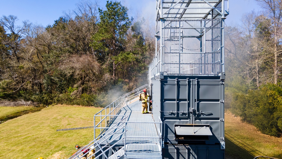
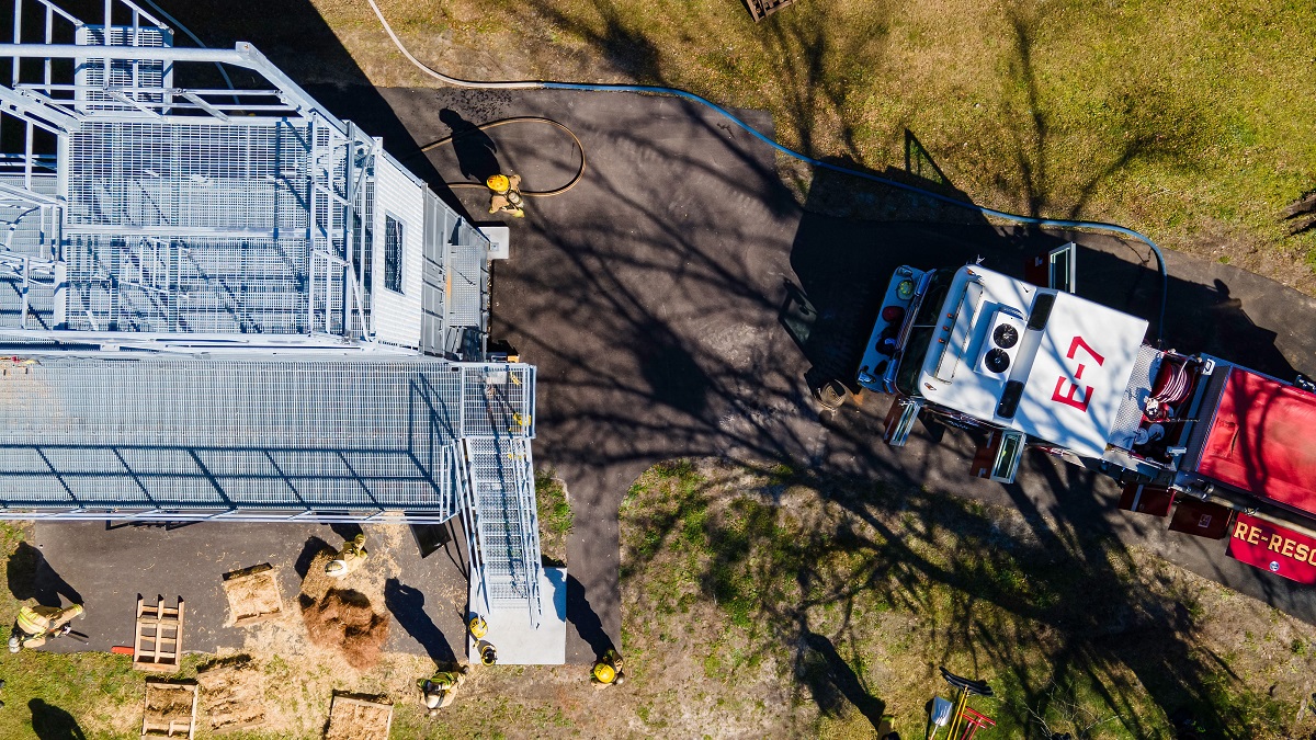
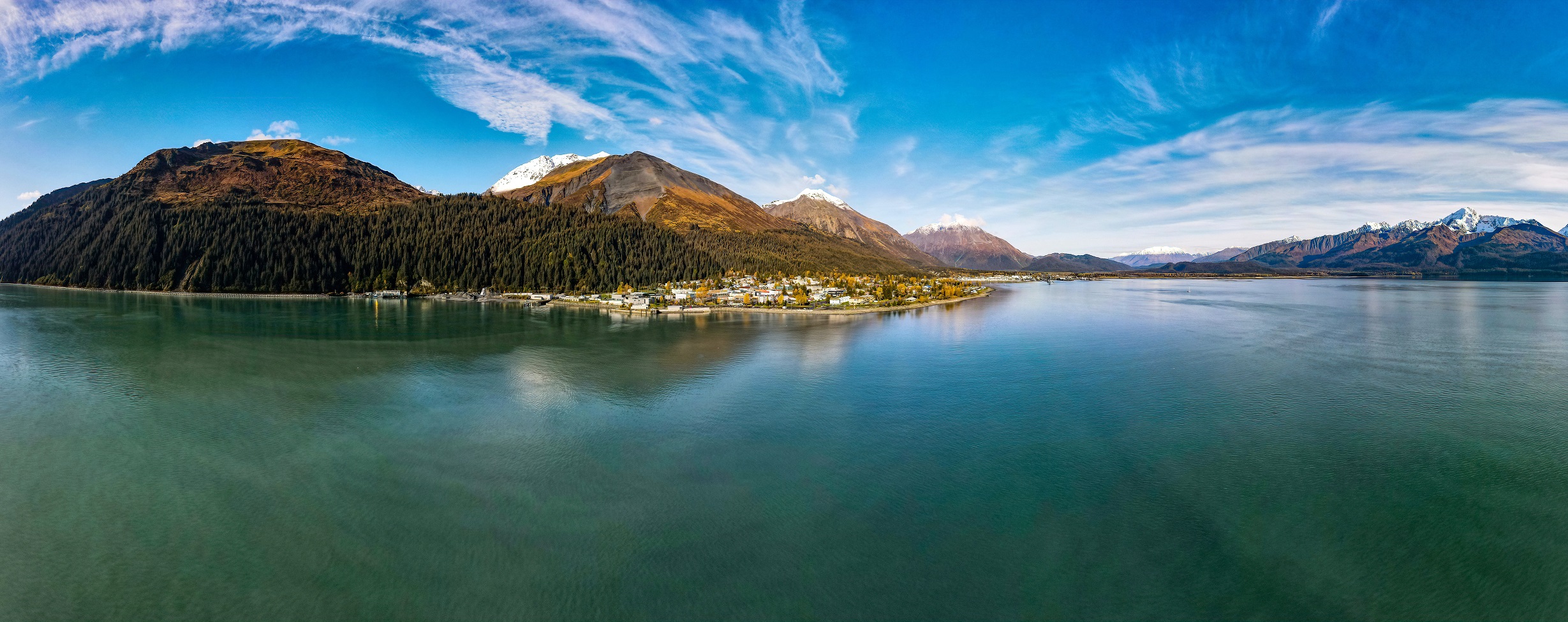


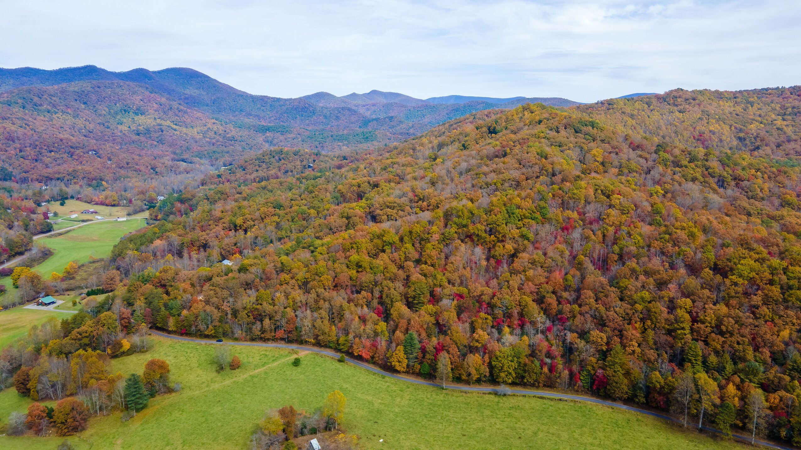

Image Credits:
– Scott Thomas Sky360 Aerial Media